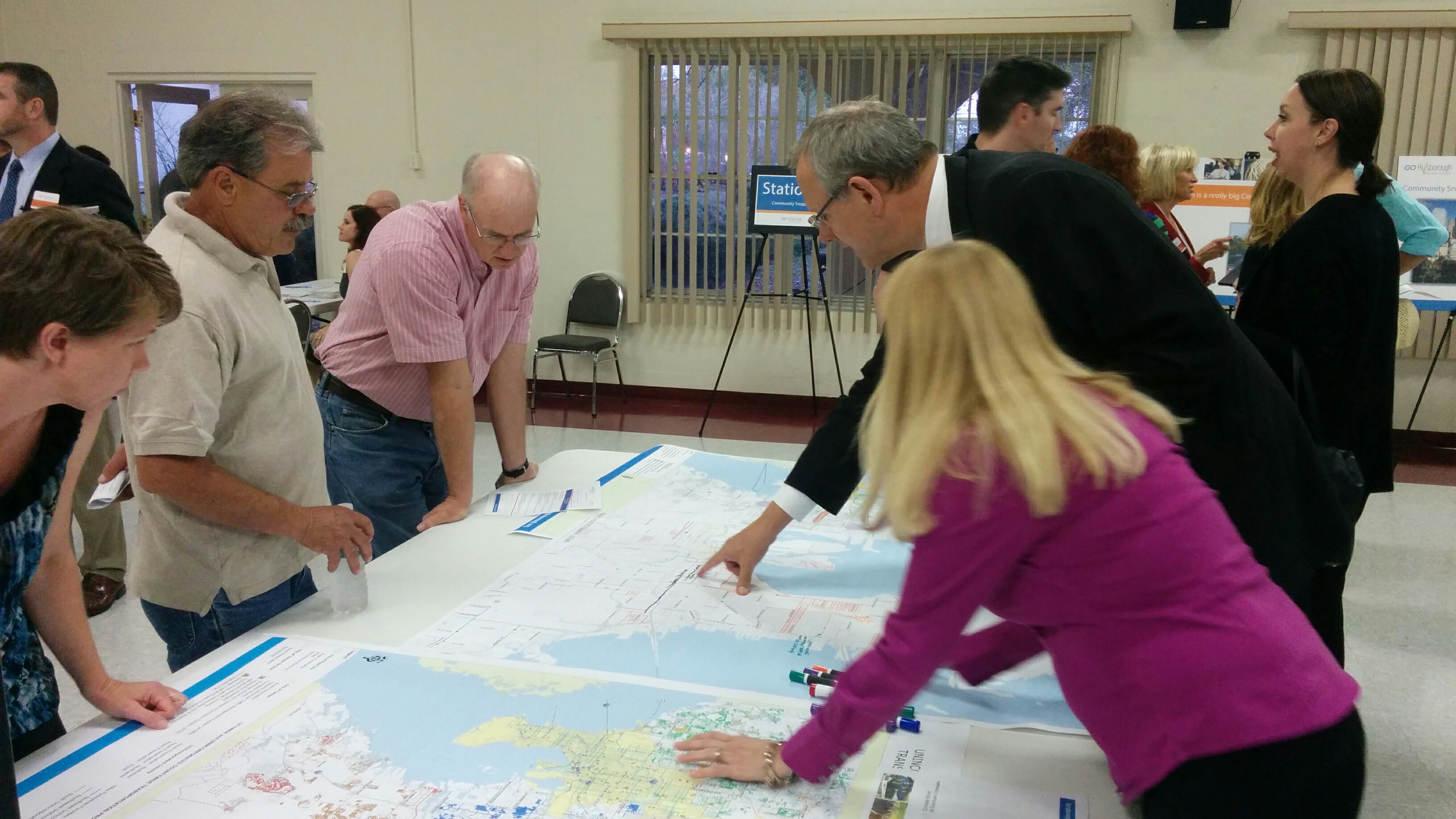
These maps allowed voters to draw out corridors (whether it be road improvements, transit corridors, or bike paths/multi-use trails) that they would like to see in a transportation plan. Credit: HARTride 2012
By HARTride 2012
These maps allowed voters to draw out corridors (whether it be road improvements, transit corridors, or bike paths/multi-use trails) that they would like to see in a transportation plan. Credit: HARTride 2012
